 GeoMIS.Th
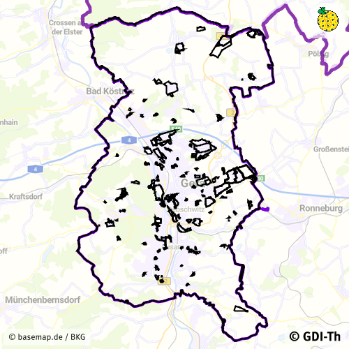
INSPIRE PLU Bauleitplanung WMS Stadt Gera
Dieser Darstellunsgdienst (WMS) enthält die Bebauungspläne, Satzungen und Flächennutzungspläne für das INSPIRE Thema geplante Bodennutzung für die Stadt Gera.
Simple
Basisinformation
- Datumsangaben (Überarbeitung)
- 2024-05-27
- Identifikator
- https://registry.gdi-de.org/id/de.th.csw/3d211229-dd2a-41aa-99be-8a5ba9f036d3
- Präsentationsform
- Digitale Karte
+49 365 838 1845
https://www.gera.de/
- Überarbeitungsintervall
- Bei Bedarf
- Datenpflegebereich
- Service
- Keywords
-
-
WMS
-
Thüringen
-
Bebauungspläne
-
Satzungen
-
Flächennutzungspläne
-
Bodennutzung
-
inspireidentifiziert
-
opendata
-
REGI
-
GOVE
-
Georedakteur_Kommunal
-
-
VERORDNUNG (EG) Nr. 1205/2008 DER KOMMISSION zur Durchführung der Richtlinie 2007/2/EG des Europäischen Parlaments und des Rates hinsichtlich Metadaten
-
-
humanGeographicViewer
-
Darstellungsdienste
-
-
GEMET - INSPIRE themes, version 1.0
-
-
Bodennutzung
-
-
High-value dataset categories
-
-
Erdbeobachtung und Umwelt
-
- Zugriffseinschränkungen
- Benutzerdefinierte Einschränkungen
- Andere Einschränkungen
- Es gelten keine Zugriffsbeschränkungen
- Nutzungseinschränkungen
- Benutzerdefinierte Einschränkungen
- Andere Einschränkungen
-
Nutzungsbedingungen: Für diesen Dienst gelten die Nutzungsbedingungen nach der Datenlizenz Deutschland-Namensnennung, zurzeit in der Version 2.0 ( https://www.govdata.de/dl-de/by-2-0) unter Verwendung des Quellvermerkes "© GDI-Th".
- Andere Einschränkungen
-
{
"id": "dl-by-de/2.0",
"name": "Datenlizenz Deutschland Namensnennung 2.0",
"url": " https://www.govdata.de/dl-de/by-2-0",
"quelle": "© GDI-Th"
}
- Art des Dienstes
- view
- Version des Dienstes
-
OGC:WMS 1.3.0
- Beschreibung
-
Stadt Gera
- Code
- 1605200000000
))
- Art der Kopplung
- Eng
Funktionen und Operationen
- Name der Operation
-
GetCapabilities
- DCP (Distributionsplattform)
- WebServices
- Identifikator des Referenzsystems
- http://www.opengis.net/def/crs/EPSG/0/25832
- Abgabeformat
-
-
gml
(
gml 3.2
)
-
gml
(
gml 3.2
)
- Online
-
INSPIRE PLU pre-defined Atom Feed geplante Bodennutzung
(
WWW:LINK-1.0-http--rss
)
INSPIRE PLU pre-defined Atom Feed - Downloaddienst für kommunale Geodaten der Stadt Gera für das INSPIRE Thema geplante Bodennutzung
- Online
-
INSPIRE PLU WMS geplante Bodennutzung
(
OGC:WMS-http-get-map
)
INSPIRE PLU WMS - Darstellungsdienst für kommunale Geodaten der Stadt Gera für das INSPIRE Thema geplante Bodennutzung
- Bezugsebene
- Service
- Andere
-
service
Konformitätsergebnis
- Datumsangaben (Publikation)
- 2010-12-08
- Präsentationsform
- Digitales Dokument
- Erklärung
-
mit GDI-DE Testsuite validiert
- Bestanden
- Ja
Konformitätsergebnis
- Datumsangaben (Publikation)
- 2013-04-04
- Identifikator
- Darstellungsdienst
- Präsentationsform
- Digitales Dokument
- Erklärung
-
mit GDI-DE Testsuite validiert
- Bestanden
- Ja
Konformitätsergebnis
- Datumsangaben (Publikation)
- 2009-10-20
- Präsentationsform
- Digitales Dokument
- Erklärung
-
mit GDI-DE Testsuite validiert
- Bestanden
- Ja
Konformitätsergebnis
- Alternativtitel
-
Verordnung der EU Kommission Richtlinie Nr. 1205/2008, Artikel 4, Teil D
- Datumsangaben (Publikation)
- 2008-12-03
- Präsentationsform
- Digitales Dokument
- Erklärung
-
mit GDI-DE Testsuite validiert
- Bestanden
- Ja
- Erläuterung
-
Datenbestandsüberführung kommunaler Daten in das INSPIRE Modell Bodennutzung
- Metadatensatzidentifikator
- 3d211229-dd2a-41aa-99be-8a5ba9f036d3 XML
- Sprache
- Deutsch
- Zeichensatz
- Utf8
- Hierarchieebene
- Service
- Bezeichnung der Hierarchieebene
-
WMS
- Datum
- 2025-07-28T10:19:52
- Bezeichnung des Metadatenstandards
-
ISO 19115/19119
+49 365 838 1845
https://www.gera.de/